Hello,
When drawing a geofence for use with an event, I need to have satellite view in order to make sure the geofence is on certain points on a property. But currently it only shows map view, with no option of showing satellite view.
Am I missing something or is this functionality not currently available?
Even a way to put in manual coordinates would help, but this seems to not be available either.
Thanks
Hello @agrisense,
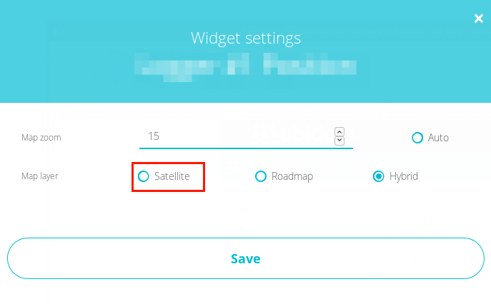
To visualize the map widget with a satellite view, press the settings icon and choose the view desired:
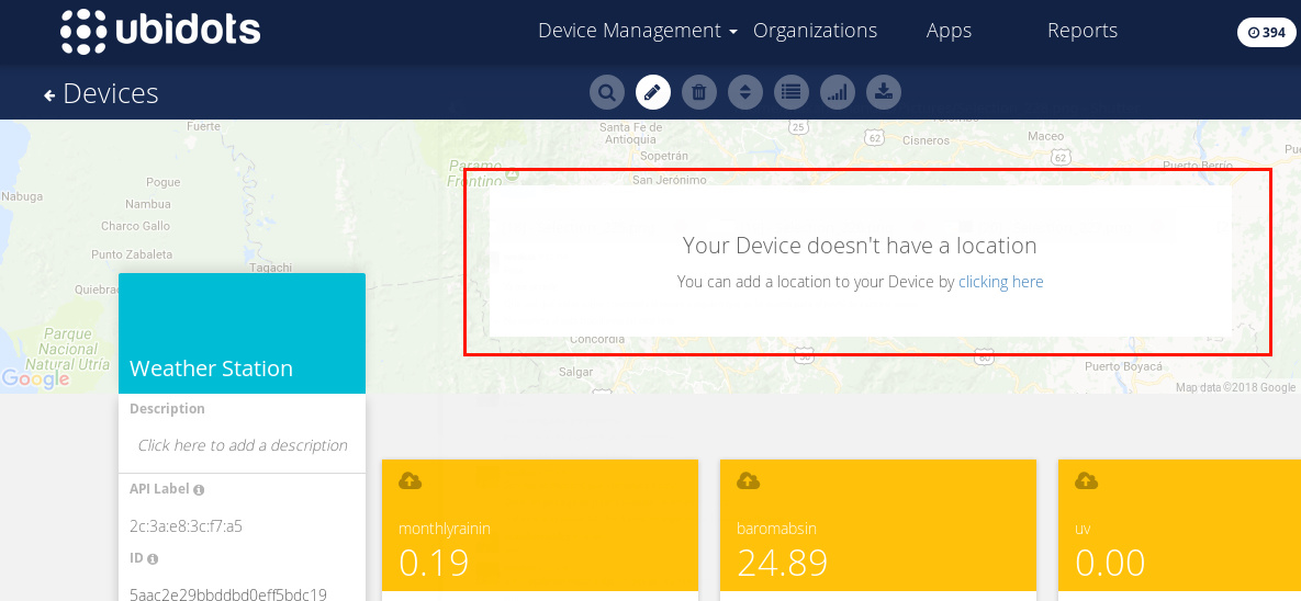
You can assign the coordinates manually directly from the Device:
Option 1:
Option 2:
I hope this would help you!
All the best,
Maria C.
Hi Maria,
No I specifically mean when I create a geofence when creating a rule using position. When drawing the geofence I need to do so using satellite view, otherwise I cannot accurately place the geofence.
When drawing the geofence there is only map view available.
Hein
Greetings @agrisense,
while we don’t support satellite view in the geofence creation, it sounds like a great idea. This is something we’ll consider down the line and I’ve made a note of your request as a +1 vote in our internal feature tracker for future releases.
All the best